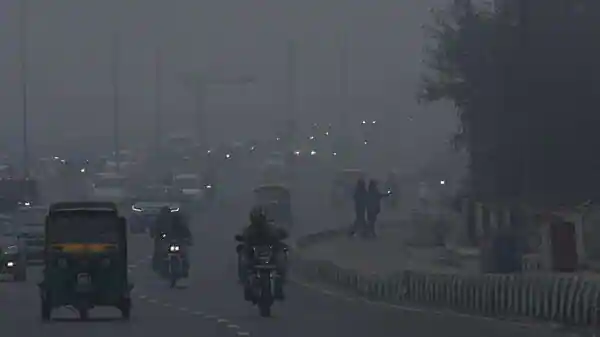
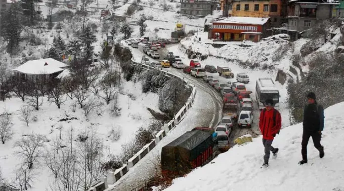
“North India usually braces for cold wave conditions from mid-December through January. So, what’s causing this early arrival of chilly nights paired with surprisingly warm days?”

Parts of north India, including Delhi, Haryana, and Punjab, have experienced cold temperatures in recent days, and the India Meteorological Department (IMD) has issued a yellow alert for a cold wave in Chandigarh until December 15.
The typical minimum temperature in Chandigarh is 6.8 degrees Celsius, and the typical maximum temperature is 24.8 degrees Celsius. The city’s coldest night, which was 4.7°C on Wednesday, October 11, was followed by a daytime high of 23.1°C.
At the Safdarjung monitoring station, the minimum temperature settled at 4.5°C on Thursday, thus making it Delhi’s chilliest morning of the season. The area has a yellow warning for Friday and Saturday.
North India is currently experiencing an early cold wave in 2024, leading to unusually chilly nights. The cold wave has impacted regions like Delhi, Haryana, and Punjab, with the India Meteorological Department issuing a yellow alert for Chandigarh until December 15. This year’s weather patterns have deviated from the norm, resulting in colder nights since December 8. Stay prepared for the ongoing cold wave and its impact in the coming days.
“What’s the Current Temperature Range in the Region?”
The hottest temperatures over the past three days, which are officially daylight temperatures, have varied from 20.5°C to 24.8°C; they often fall between 22 and 23°C. The total falls within normal limits. With an average of 5.4°C to 6.9°C in Punjab and 4.2°C to 9.1°C in Haryana, the lowest temperatures, however, varied from 1.6°C to 11.4°C.
In several places, the minimum temperatures have dropped by nearly 6.5°C to 4.7°C below normal. Furthermore, the highest recorded temperature on Wednesday was 23.3°C in Bathinda, while the lowest was 1.8°C in Adampur, Punjab. At 1.6°C, Hisar recorded the lowest temperature in Haryana. The lowest temperature of the season was recorded at Fatehpur, Rajasthan, on Friday, with a minimum of – 0.1°C Celsius, according to the weather office.
“What Exactly is a Cold Wave or a Severe Cold Wave?”
The IMD’s qualitative definition of a cold wave is “a condition of air temperature which becomes fatal to the human body when exposed” With symptoms ranging from cold and cough to bronchitis and other respiratory conditions, blood pressure issues, and even pain in the bones, joints, and muscles due to insufficient sunshine, it has a serious negative influence on human health. Those who are homeless and in poverty are especially impacted.
Where is La Niña? And why did global models err in their predictions?
La Niña is a climate phenomenon where the sea surface temperatures in the central and eastern Pacific Ocean near the equator cool. It affects global weather patterns and brings changes like more monsoon activity in India, drier conditions in parts of South America and more hurricane activity in the Atlantic.
Why Did Models Go Wrong? Complexity of Climate Systems: La Niña interacts with many other atmospheric and oceanic patterns making it hard to forecast. Transition to ENSO Neutral or El Niño: Models often misjudge the timing and magnitude of the transition from La Niña to neutral or El Niño. Regional Variability: Global models may not capture local variations or sudden changes in ocean-atmosphere coupling. Data Limitations: Realtime data for the deep ocean or specific regions of the Pacific may not be available to feed into the models. Weather Systems are Fast: Weather can change quickly and models can’t keep up. Understanding La Niña and its impacts requires continuous monitoring, better data assimilation and advances in climate modeling.
“Why is North India Facing an Early Cold Wave This Year?”
IMD has given several reasons for the early cold wave in North India. Surinder Paul, Director IMD Chandigarh Office said that two western disturbances hit western Himalayan region and nearby plains on December 8 and moved east by December 9. These disturbances which originate from Mediterranean bring winter rain to northwest India and snow to Himalayas.
Another reason is a strong subtropical westerly jet stream with winds of 278 km/h which has been hovering over northwest India for last 7 days and is impacting the region’s weather.
To add to the situation prolonged dry spell of last two months has also played a big role. Punjab and Haryana have seen very less rainfall, Punjab has received only 18% of its normal rainfall and Haryana has received only 4%. This dry spell has reduced soil moisture and under clear sky nights have become even colder.
IMD has provided several explanations for the early cold wave in North India. According to Surinder Paul, Director of IMD Chandigarh Office, two western disturbances moved through the western Himalayan region and nearby plains, originating from the Mediterranean, bringing winter rain to northwest India and snow to the Himalayas. Additionally, a strong subtropical westerly jet stream with winds of 278 km/h has been persisting over northwest India for the past 7 days, impacting the region’s weather. Furthermore, the prolonged dry spell in the last two months, with Punjab receiving only 18% and Haryana receiving only 4% of their normal rainfall, has resulted in reduced soil moisture and exceptionally colder nights under clear skies.


[…] also read: “Cold Wave Hits North India Early: Unusual Weather in 2024”. […]